Permafrost by province
Discover the implications of permafrost across contributing provinces in Canada.
Discover the implications of permafrost across contributing provinces in Canada.
Home / Communities / Permafrost / Permafrost by province
Analysing Permafrost in the North
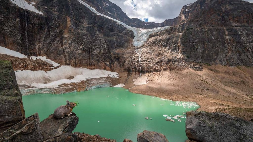
Indigenous communities in the Northern areas of Alberta are concerned about permafrost damage. It can compromise burial sites, places of important stories, traditional hunting and fishing grounds, and historical travel routes. The Alberta Geological Survey uses machine-learning to identify and map permafrost data in Northern Alberta (north of 56° N). This method incorporates known permafrost locations, a lidar-based digital elevation model, satellite imagery, and climate data to predict the whereabouts of permafrost. Their model has predicted more extensive permafrost in Alberta than previously thought, reaching south into the wetlands.

Researching Permafrost in the North
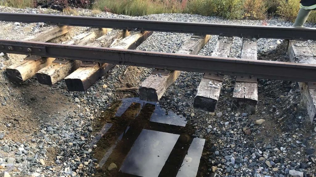
Nicknamed “The Polar Bear Capital of the World”, Churchill, Manitoba is a small, isolated port town in Canada’s zone of continuous permafrost. The degradation of permafrost threatens tourism, expansion of the port, and Churchill’s railway connections to the rest of Canada. The Churchill Community of Knowledge Digital Archive is a research project led by the Institute for Research & Innovation in Sustainability and YorkSpace. Their goal is to document, combine, and disseminate long-term ecological research from Churchill and Wapusk National Park.

Mapping Permafrost in the North
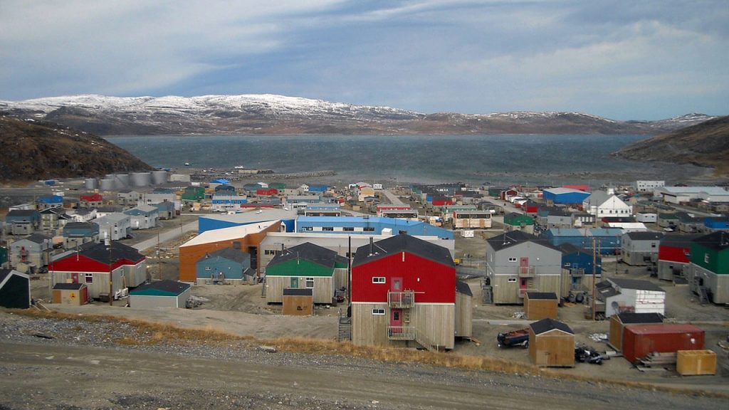
Nunavik, Quebec has experienced extensive damage to buildings and infrastructure, riskier travel conditions in the region, and limited the hunting, fishing, and gathering activities due to thawing permafrost. Mapping of permafrost conditions completed by the Centre d’études nordiques at Laval University was done using a simple model called Temperature at the Top of Permafrost (TTOP). Their model results illustrate the distribution of varying types of permafrost.

Email geoinfo@nrcan-rncan.gc.ca and get in touch with our team.
GEO.ca is committed to open dialogue and community building around location-based issues and topics that matter to you.
Share this page:
Canada Centre for Mapping and Earth Observation
Natural Resources Canada
Government of Canada
geo@nrcan-rncan.gc.ca

Terms and Conditions
Powered by GEO.ca, Copyright © 2026
GEO.ca is part of the Canadian Geospatial Data Infrastructure (CGDI)