Flood Map and Dataset Gallery
Explore the flood map and dataset gallery to view flood hazard data, and other datasets that deepen our understanding of flooding.

Explore an archive of locations where some of the largest floods have taken place in recent Canadian history.

Explore floods for the current year as monitored by Natural Resources Canada.

Find out how likely flooding is to occur in different parts of Canada.
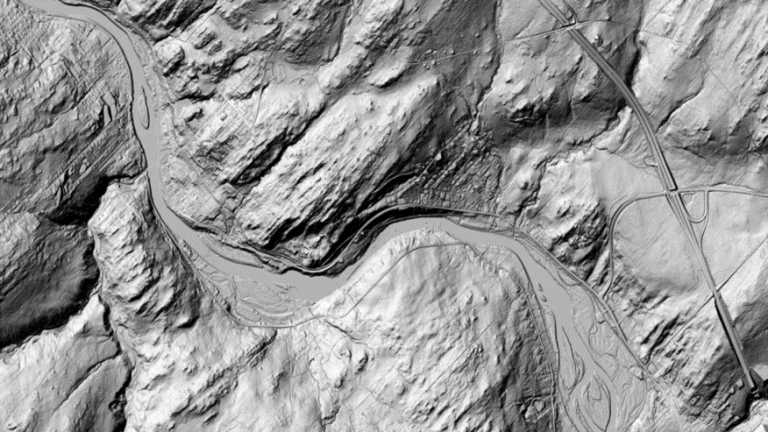
The High Resolution Digital Elevation Model (HRDEM) includes a Digital Terrain Model (DTM), a Digital Surface Model (DSM) and other derived data. South of the productive forest line, DTM and DSM datasets are generated from airborne lidar data. In the north, they are derived from satellite images.
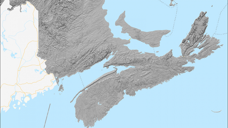
The High Resolution Digital Elevation Model Mosaic provides a unique and continuous representation of the high resolution elevation data available across the country. The High Resolution Digital Elevation Model (HRDEM) product used is derived from airborne lidar data (mainly in the south) and satellite images in the north. The mosaic is available for both the Digital Terrain Model (DTM) and the Digital Surface Model (DSM) from web mapping services.
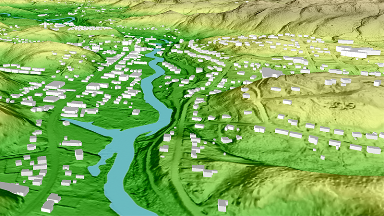
Automatically Extracted Buildings is a raw digital product in vector format. It consists of a single topographical feature class that delineates polygonal building footprints automatically extracted from airborne Lidar data, high-resolution optical imagery or other sources.
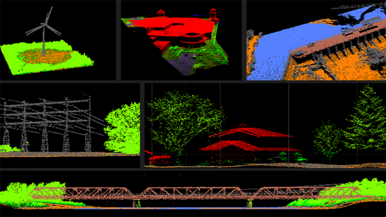
This product contains point clouds from various airborne lidar acquisition projects conducted in Canada. These airborne lidar acquisition projects may have been conducted by NRCan or by various partners. The point cloud files are distributed using the compressed .LAZ / Cloud Optimized Point Cloud (COPC) format.
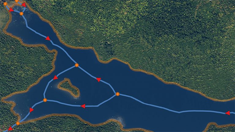
The Canadian Hydrospatial Network (CHN) is an analysis-ready geospatial network of features that help enable the modelling of surface water flow in Canada. The six main layers and feature types are: flowlines, waterbodies, catchments, catchment aggregates, work units, and hydro nodes.
The National Hydro Network (NHN) focuses on providing a quality geometric description and a set of basic attributes describing Canada's inland surface waters. It provides geospatial digital data compliant with the NHN Standard such as lakes, reservoirs, watercourses (rivers and streams), canals, islands, drainage linear network, toponyms or geographical names, constructions and obstacles related to surface waters, etc.