Date modified: 2025-02-25
Share this page:
GEO.ca Initiatives Responding to User Needs
Making the Canadian Geospatial Data Infrastructure (CGDI) community requirements count
User requirements and capacity have changed since the Canadian Geospatial Data Infrastructure (CGDI) began in the 1990s. Natural Resources Canada (NRCan) commissioned reports to identify these needs. NRCan discovered that spatial data users require diverse spatial data from different sources. Indigenous organizations are eager to increase their access to geospatial data layers and tools for land use and management purposes.
In response to these findings, thematically grouped ‘Starter Kits’ – two national kits, 1 territorial kit, and 1 provincial kit were created to demonstrate how users can quickly gain access to analysis ready data.
Explore a selection of data layers from the Climate Change and Water Resources Starter Kits. These previews offer a glimpse into the valuable geospatial resources each kit provides, helping users quickly assess how these datasets can support their analysis and decision-making needs.
From the UNA report, CGDI identified key findings from the community, including benefits and needs, more details can be found below.
User needs analyses were done to explore the current needs and expectations of the CGDI. The main findings were:
CGDI starter kits, factsheet, primer, and a cookbook were generated to address some of these key findings.
These starter kits were created in response to identified user needs and to demonstrate how users can quickly gain access to analysis ready data. Each kit offers a compact, comprehensive, and user-friendly gateway to thematically/geographically grouped sets of information. Four starter kits are demonstrated below: 2 national, 1 provincial, and 1 territorial.
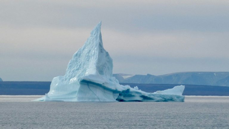
This kit includes national geospatial data relevant to climate change, such as climate models, wildfire, sea and ice data.
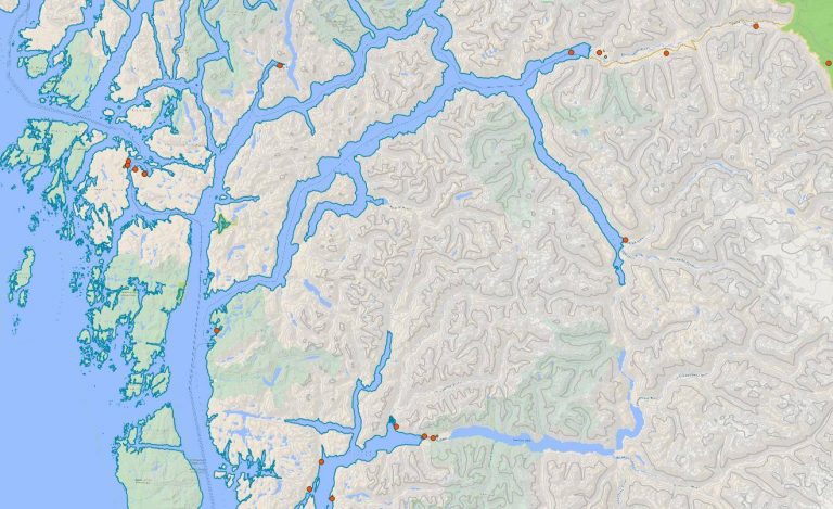
This kit includes national geospatial data relevant to water resource analysis, such as hydro network, precipitation, and shoreline data.
This kit features geospatial data relevant to British Columbia such as aquatic information, wildlife, infrastructure, and oil and gas data.
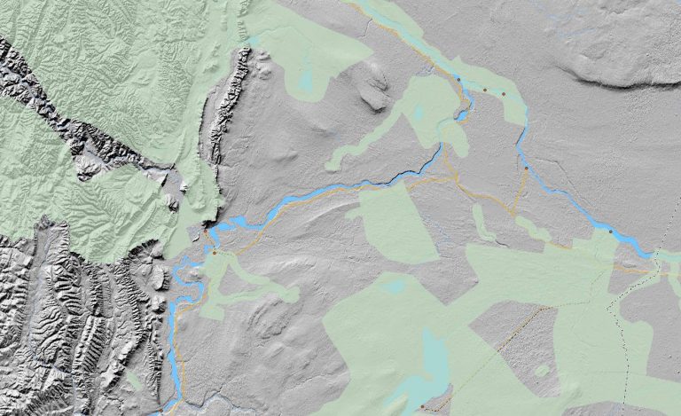
This kit features geospatial data relevant to the Northwest Territories such as forestry, resource management, and infrastructure data.
To Learn more about the User Needs Assessment and Starter Kits, view the links below:
Download a starter kit to access curated spatial data for Canada.
View a summary and the benefits of the CGDI.
See detailed examples of the CGDI components.
Get started with step-by-step CGDI recipes.
Learn more about the needs of Canadian stakeholders and Indigenous organizations.
Discover more about the needs of the international Arctic community.
Share this page:
Canada Centre for Mapping and Earth Observation
Natural Resources Canada
Government of Canada
geo@nrcan-rncan.gc.ca
Terms and Conditions
Powered by GEO.ca, Copyright © 2025
GEO.ca is part of the Canadian Geospatial Data Infrastructure (CGDI)